I created ClimateViewer 3D to map climate change today and see the big picture. ClimateViewer News is a natural extension of my work on mapping pollution, and I have written many articles detailing what I see as the major issues facing us today:
- Destruction of Clean, Drinkable Water
- Destruction of Land: Deforestation, Mono-culuture crops, Drilling (Killing) Fields, and Toxic Waste Dumps.
- Destruction of Oceans: Dumping Chemical Weapons, Nuclear Reactors, and Coating the Entire Ocean in Plastic!
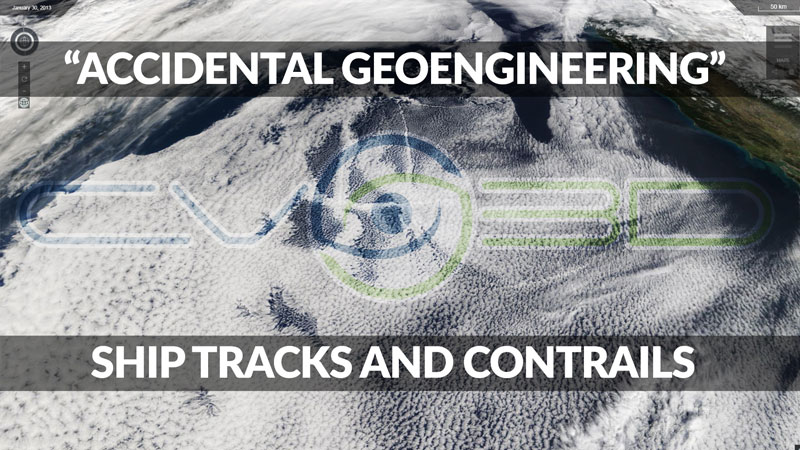
- Destruction of the Sky: Weather Modification, Geoengineering, and Electromagnetic Pollution from ground and space based sources.
ClimateViewer News and ClimateViewer 3D are your source for Climate Change that impacts your life today! This is your world and knowing is half the battle: SEE IT IN 3D!
ClimateViewer 3D is your source for geophysical monitoring and personal education with live imagery on a gorgeous 3D globe or a mobile-friendly flat map. ClimateViewer features an encyclopedic list of exclusive maps resulting in thousands of hours of personal educational bliss not found anywhere else on the internet, let alone in one place.
ClimateViewer's live updates on severe weather, earthquakes, fires, and other life-threatening events will give you peace of mind in one all-inclusive app. With cutting-edge technology, real-time geophysical monitoring, and a visual tour of our planetary problems, ClimateViewer is your source for up-to-the-second situational awareness!
ClimateViewer is an amazing source of unique maps covering climate change, pollution, privacy, exploration, migration, geosciences, architecture, green energy solutions, sunken ships, airplane crash sites, weather modification and more. Use our fullscreen map apps to create a custom mix of map layers and share it with your friends (Click "Share Screen" after loading some maps). ClimateViewer is a fun way to learn about your world by combining layers and connecting the dots!
LAUNCH CLIMATEVIEWER 3DThis will open a new windowClimate Change 1.0 - The Dust Bowl

We saw massive climate change in the United States of America when "The Dust Bowl" happened back in the 1930's.
How did we fix Climate Change 1.0?
The Great Plains Shelterbelt: we planted 220 million trees!
The Great Plains Shelterbelt was a project to create windbreaks in the Great Plains states of the United States, that began in 1934. President Franklin D. Roosevelt initiated the project in response to the severe dust storms of the Dust Bowl, which resulted in significant soil erosion and drought. The United States Forest Service believed that planting trees on the perimeters of farms would reduce wind velocity and lessen evaporation of moisture from the soil. By 1942, 220 million trees had been planted, stretching out 18,600 miles (29,900 km) in a 100-mile-wide zone from Canada to the Brazos River. Even as of 2007, “the federal response to the Dust Bowl, including the PSFP [Prairie States Forestry Program which planted the Great Plains Shelterbelt and creation of the Soil Erosion Service, represents the largest and most-focused effort of the [U.S.] government to address an environmental problem.”
How will we fix Climate Change 2.0? Plant Trees!
Pollution Subsections
Nuclear Radiation


“I am forever a Boy Scout, lifetime artist, nocturnal programmer, music is my life, love is my religion, and I am the luckiest husband and father on Earth. I speak for the trees. I have a passion for mapping, magnets, and mysteries.”
About Jim Lee")