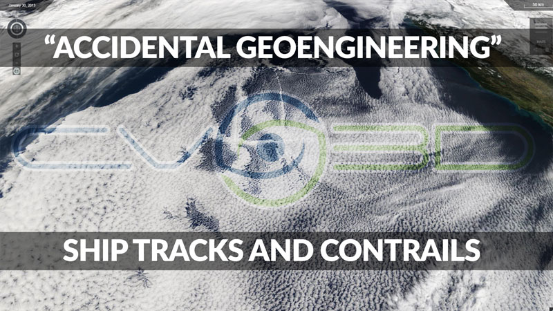
ClimateViewer 3D is an open-source geophysical monitoring map with live imagery on a gorgeous 3D globe. CV3D features an encyclopedic list of exclusive maps resulting in thousands of hours of personal educational bliss not found anywhere else on the internet, let alone in one place.
ClimateViewer 3D is an amazing source of unique maps covering climate change, pollution, privacy, exploration, migration, geosciences, architecture, green energy solutions, sunken ships, airplane crash sites, weather modification and more. Create your own custom mix of maps and share it with your friends. ClimateViewer 3D is a fun way to learn about your world by combining layers and connecting the dots!
ClimateViewer 3D’s live updates on severe weather, earthquakes, fires, and other life-threatening events will give you peace of mind in one all-inclusive app. With cutting-edge technology, real-time geophysical monitoring, and a visual tour of our planetary problems, ClimateViewer 3D is your source for up-to-the-second situational awareness on a stunning 3D globe.
ClimateViewer 3D is available at:

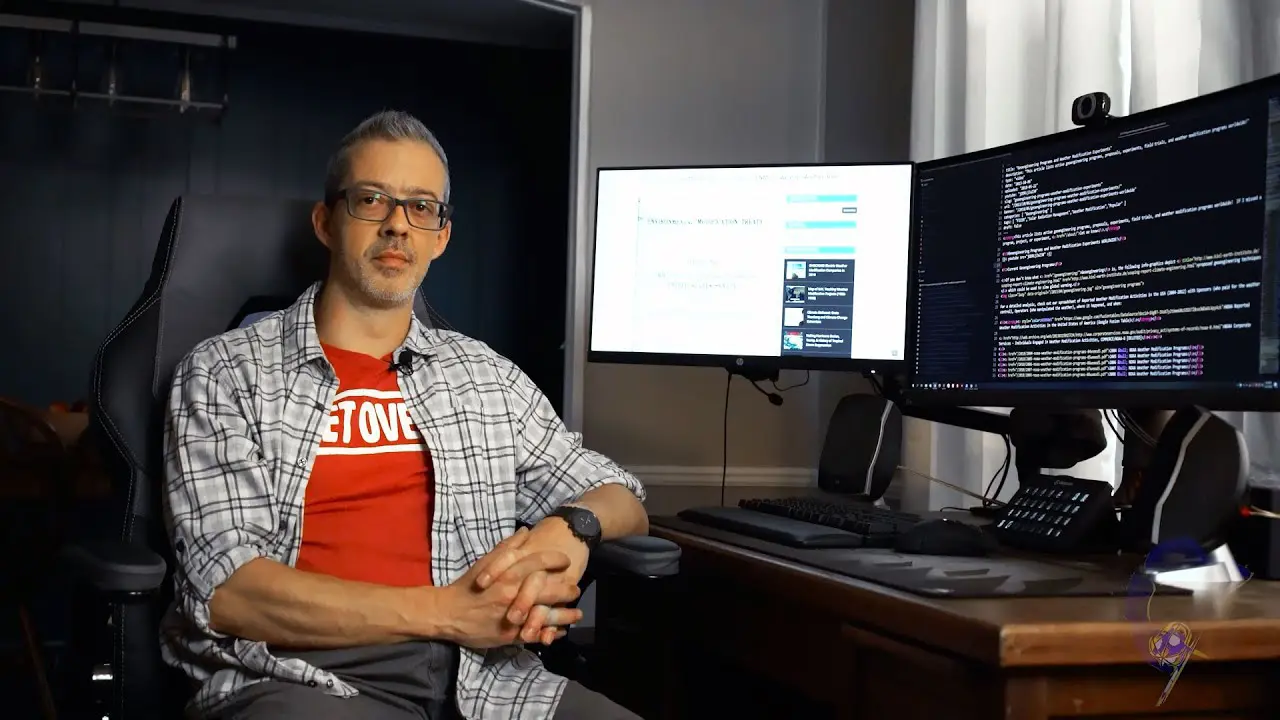
“I am forever a Boy Scout, lifetime artist, nocturnal programmer, music is my life, love is my religion, and I am the luckiest husband and father on Earth. I speak for the trees. I have a passion for mapping, magnets, and mysteries.”
About Jim Lee")